Drone Survey Fareham: Specialist aerial mapping and aerial surveying
CAA Accredited pilots approved for commercial operations.
- High accuracy drone surveys and inspections – for all industries
- Highest safety standards – fully insured with £5m Public Liability
- Comprehensive and reliable data from industry leading reporting software
Call 01329 887 337 for more information or to request your fast, no-obligation quote.
Drone Survey Fareham
Our drone surveys in Fareham give you accurate data, safe access and a fast turnaround across construction, engineering and industrial sites. We support projects of all sizes with a clear focus on safety, precision and consistent reporting.
As a family-owned business with strong backgrounds in construction, civil engineering and surveying, we know the level of detail your teams expect. Every survey is carried out with trained operators, approved equipment and a process built around operational control.


Chat with us about how drone surveys can help your business
Drone Surveys for Construction and Engineering
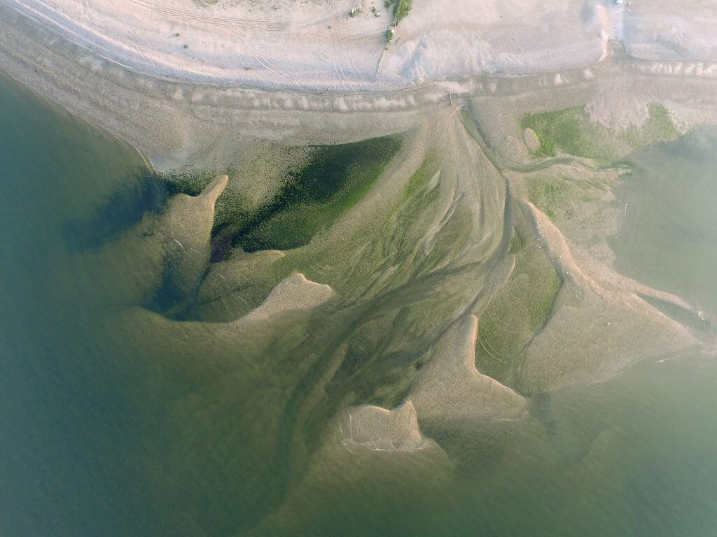
Our drone surveys offer a practical way to capture topographic data, monitor progress and assess large areas without slowing down site activity. We combine aerial methods with traditional instruments to give reliable information for early planning and ongoing works.
By working from overhead, we reduce the risks linked with difficult ground, heavy plant or restricted areas. This allows your staff to continue their tasks while we handle the data capture. Every deliverable is processed through our in-house software for consistent output quality.
Our operators bring experience from engineering, surveying and site management. This ensures we understand the constraints of live environments, safety requirements and the standard of data expected by design teams and project managers.
Safe and Efficient Inspections Across All Sectors
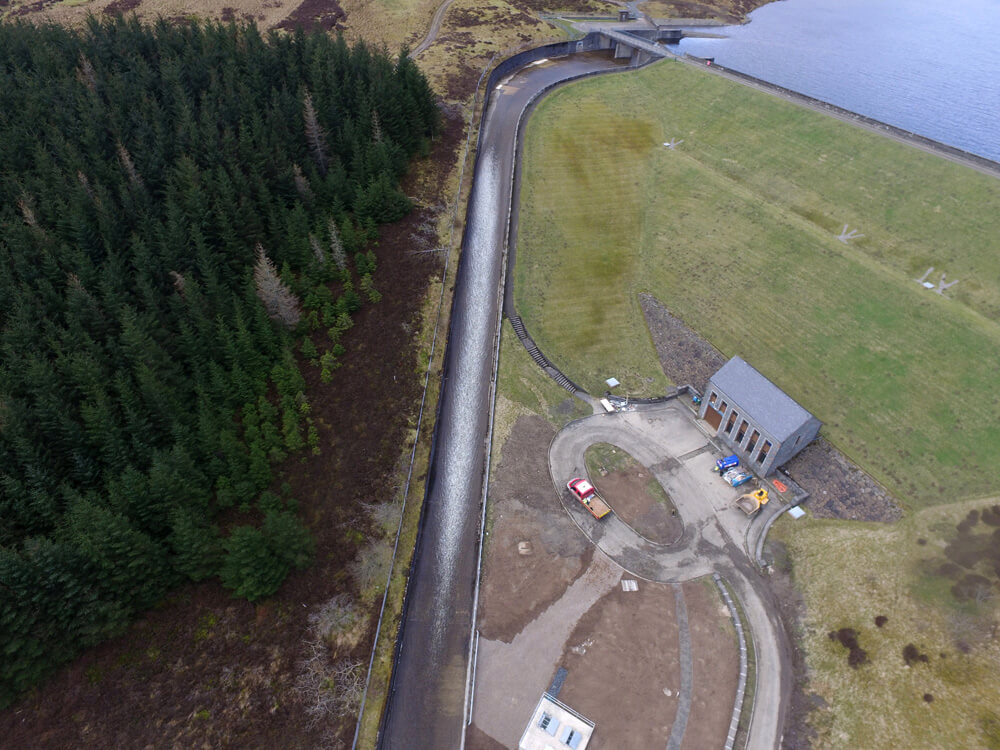
Our drone inspections provide a controlled and efficient way to assess roofs, structures, utilities and industrial assets. Using 4K imaging, thermal options and RTK positioning, we can reach areas that would usually require working at height, temporary access or downtime.
This approach helps reduce risk exposure while offering a clear visual record for maintenance, compliance and planning. Surveys can also be supported by ground-based instruments to improve accuracy where needed.
From commercial buildings to infrastructure sites, each inspection is carried out with CAA-approved pilots and full public liability insurance. We maintain strict operational procedures to ensure safe working on every project.

Technology-Focused Survey Data for Better Decision Making
We run advanced photogrammetry and modelling tools in-house, allowing us to process point clouds, meshes and 2D or 3D outputs for your CAD workflows. These formats support engineering design, progress checks, volume assessments and site planning.
Our fleet includes RTK drones, GNSS equipment and total station instruments for projects that need combined datasets. This helps maintain accuracy in both open and confined areas, even in challenging conditions.
Cloud-based sharing allows your teams to review data, collaborate and integrate information into their existing systems. This approach supports smoother coordination between contractors, clients and consultants.
Request Your Drone Survey in Fareham
If you need a reliable drone survey in Fareham, we can support you with accurate data, safe working practices and clear reporting. Our team is ready to assess your site, advise on the right method and deliver the information you need without delay.For more details or to arrange a survey, contact us today and we will respond promptly with a clear plan and quotation.
Contact Us
6 The Gardens Office Village, Fareham, Portsmouth, Hampshire PO16 8SS
Related Services

Inspections & Surveys
Infrastructure, FM & Utilities