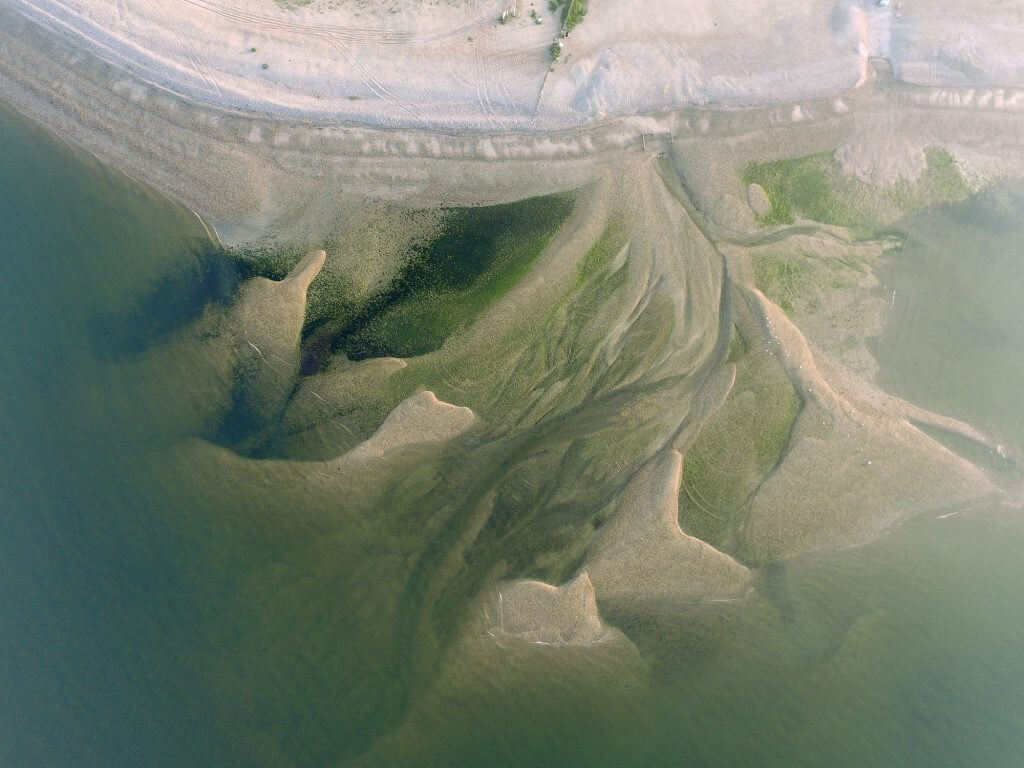
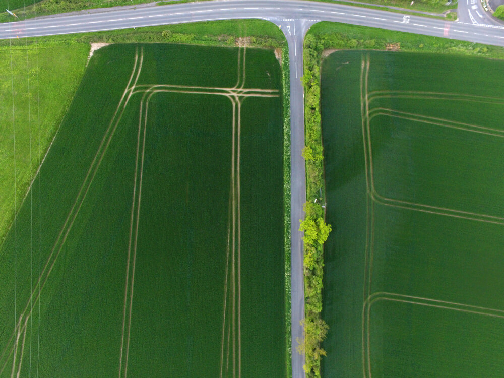
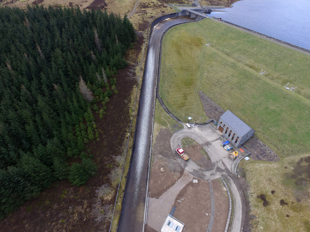
Agriculture Drone Survey
Our agriculture drone survey and farmland survey services provide fast, safe and cost-effective data capture, delivering high-resolution imagery and precise insights to support smarter crop and land management.
- 3D modelling, CAD and BIM integration
- Volumetric measurements
- Dramatically reduced surveying hours
- Improved processes and reporting
- Impressive data collection and analysis
Agriculture & Land Management
FAQs for Agriculture Drone Survey
What is an agriculture drone survey?
An agriculture drone survey uses UAV technology to capture high-resolution aerial data across farmland. This allows for detailed analysis of crops, soil conditions and land usage without the need for time-consuming manual inspections.
What can drone surveys detect in crops?
Drone surveys can identify variations in crop health, nutrient levels and irrigation effectiveness. Using multispectral imaging, they highlight areas of stress or poor growth that may not be visible from the ground.
How can drone surveys improve crop yields?
By providing accurate, data-driven insights, drone surveys help farmers make informed decisions about fertilisation, irrigation and crop management. This can lead to healthier crops and more consistent yields over time.
Can drones be used to monitor livestock?
Yes, drones can quickly cover large areas of land, making them ideal for tracking livestock. They provide a safe and efficient way to monitor movement, check welfare and manage herds without disruption.
Are drone surveys safe for agricultural environments?
Drone surveys are a much safer alternative to traditional methods, as they remove the need for manual inspections across difficult or hazardous terrain. They also minimise disruption to crops and livestock.
What kind of data will I receive?
You’ll receive high-resolution imagery, detailed reports and, where required, 3D models or mapping data. This information can be used for analysis, planning and integration into existing systems such as CAD or BIM.
Is drone surveying cost-effective for farms?
Yes, drone surveys reduce the need for manual labour and lengthy site visits, making them a cost-effective solution. They also help prevent costly issues by identifying problems early.
Do I need a large farm to benefit from drone surveys?
Not at all. Drone surveys can be tailored to farms of all sizes, whether you need to assess a small field or manage large agricultural estates.
What do I receive after the survey?
You will receive a comprehensive report that includes thermal images, detailed analysis, and clear recommendations for any issues identified. This helps you make informed decisions about maintenance or repairs.

Harry Fuge
Director
Harry is the founder of Pathfinder Drone and specialises in professional drone surveying, aerial mapping, and land data capture. With a strong background in geospatial services, he works with clients across construction, land development, and infrastructure to deliver accurate, efficient, and high-quality aerial insights.
Related Services

Inspections & Surveys
Infrastructure, FM & Utilities