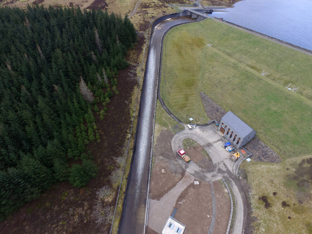
Thermal Drone Imaging Surveys
CAA Accredited pilots approved for commercial operations
- Centimetre accurate drone surveys and inspections – for all industries
- Highest safety standards – fully insured with £5m Public Liability
- Comprehensive and reliable data from industry leading reporting software
Call 01329 887 337 for more information or to request your fast, no-obligation quote.
Our specialist UAV team includes thermographers delivering in-house expertise rarely offered by other operators. Our thermal imaging surveys use thermal imaging cameras to visually represent surface temperatures to help identify possible issues for fault diagnosis or maintenance.
With experience in a range of environments we can provide a solution from the ground or from the air to help you assess your subject with non-destructive testing.

Solar Panel Thermal Imaging surveys
With experience handling portfolios up to 250MW each season, the Pathfinder team can support you through your O&M cycle. Widescale thermal imagaing surveys and analysis have a significant range of benefits:
- Preventing fires and shorting to improve safety
- Identifying faults to reduce output loss
- Assessing tree shadow impact for arboriculture works
- Validating cleaning and cutting contracts
- Cost reduction compared to ground-based imaging
- Site management improvements through our cloud portal
With our partner providers we can also scale this up to handle portfolios over a gigawatt for the season.
Over the last few years we have seen plants with nearly 20% losses as a direct result of poor maintenance. Over a large plant this can amount to tens of thousands of pounds per year lost. Having a lot of electrical faults also causes a lot of potential fire sources dotted across your site, with some faults getting in.
Thermal Imaging surveys of buildings
Early identification of construction defects or faults in older buildings can deliver huge value over the lifetime of a structure. If you want to achieve this in a non-destructive way then a thermal imaging survey is an effective option.
Some of the key things that thermography is used for are; pinpointing areas of missing insulation, heat loss, water ingress, draft identification and roofing leaks, all of which can usually be identified quickly and easily.
Using thermal inspection on electrical installations allows you to see where you have areas of high resistance across insulators or bridging cables on transmission lines and allows you to inspect substations from a point of total safety.
A thermal drone inspection ensures every angle is covered off, especially where the issue is with the roof. Often, a thermal imaging survey is done as part of commissioning new buildings to look for inconsistencies between design and finished build or as part of heat loss assessments. Using our calibrated equipment you can rely on the data we provide.
Thermal imaging surveys for Wildlife tracking and ecology assessments
Drone ecology assessments at night can be undertaken with thermal imaging to understand the extent or presence of ground nesting birds or animals. These reports add extremely valuable evidence to ecology surveys.
Consultancy advice
As a RICS Technology partner we will always offer free, no obligation advice on the best practice for the task at hand. If you have any questions about what can or can’t be achieved with thermal imaging then please do just give us a call.
FAQs about thermal imaging
Can thermal cameras see through walls?
No – thermal cameras cannot see through walls, they can’t even see through glass! Thermal cameras work differently than human eyes – even though both look at electromagnetic radiotion, they observe different frequencies. The infrared frequency (associated with normal levels of heat) is unable to pass through glass.
What resolution is the thermal camera?
Only about 0.3MP – whilst this doesn’t sound like a lot, to get better resolution you start having to spend hundreds of thousands of pounds on military style technology! Our camera is 640×512 pixels which is the standard for upper-end drone based cameras. Some larger sensors are available in handheld solutions, but they are usually to heavy to load onto a drone.
Can I make a thermal 3D model?
In theory it is possible! In reality there aren’t enough pixels available to be able to recreate a building in 3D. It is possible (although difficult and time consuming) to produce a thermal map or areas with lots of features (things like solar farms).
Why Thermal Imaging Surveys Matter
Thermal imaging surveys give you a practical way to spot issues that standard visual checks can miss. Where a surface looks sound to the eye, a thermal image can show irregular heat patterns that point to faults, damage or poor performance. This makes thermography a valuable tool for asset owners, site managers and maintenance teams who need clear evidence before deciding what action to take.
At Pathfinder Drone, we use thermal imaging surveys to help clients make better decisions based on real site data. The aim is not simply to collect images. It is to identify patterns, isolate concerns and provide information that can support maintenance planning, repair work and ongoing asset management.
Because the survey is non-invasive, you can inspect a live environment without opening up structures or interrupting normal operations more than necessary. That makes thermal imaging a sensible option for busy commercial sites, industrial facilities and large external assets.
A Practical Tool for Planned Maintenance
One of the biggest benefits of thermal imaging surveys is the ability to support planned maintenance before a minor issue turns into a major cost. Heat loss, overloaded components, trapped moisture and defective areas often show early warning signs through temperature difference. Finding those signs early can help you avoid bigger repair bills, downtime and operational risk later on.
For building owners and facilities teams, this can support a more organised maintenance schedule. Rather than relying only on reactive callouts, you can use thermal survey data to prioritise the parts of a building or system that need attention first. This leads to better budgeting and a more informed maintenance strategy.
For industrial and infrastructure assets, the value is just as clear. A thermal survey can help indicate where equipment is under strain, where energy is being wasted or where a component may be heading towards failure. In sectors where uptime matters, that level of visibility can make a real difference.
Clear Reporting You Can Use
A thermal imaging survey is only useful if the findings are clear. That is why we focus on producing outputs that help clients understand what they are looking at and what it may mean in practical terms. Temperature variation on its own does not tell the full story. It needs to be reviewed in context, with proper site awareness and survey knowledge.
Our reporting helps turn captured data into something useful for engineers, consultants, site teams and decision-makers. This can support follow-up inspections, maintenance action, contractor discussions or internal review. Where needed, thermal results can also sit alongside other survey information to give a fuller view of asset condition.
If you need a thermal imaging survey carried out by a team that understands safety, site conditions and the value of accurate reporting, Pathfinder Drone is ready to help. We bring together drone capability, thermal survey knowledge and practical field experience to deliver dependable results for your project.
FAQs for Thermal Drone Surveying
What is a thermal imaging survey?
A thermal imaging survey uses advanced infrared cameras to detect heat variations across surfaces. These temperature differences help identify issues that are not visible to the naked eye, such as heat loss, moisture intrusion, or electrical faults.
How do drone thermal surveys work?
At Pathfinder Drone, we use drones equipped with high-resolution thermal cameras to capture detailed imagery from above. This allows us to quickly scan large or hard-to-reach areas—such as roofs, solar panels, and building façades—without the need for scaffolding or manual inspections.
What can a thermal imaging survey detect?
Thermal surveys can identify a wide range of issues, including:
- Heat loss and poor insulation
- Water ingress and damp
- Roof leaks
- Electrical faults and overheating components
- Solar panel inefficiencies
What are the benefits of using a drone for thermal imaging?
Drone-based thermal surveys offer several advantages:
- Safe access to difficult or hazardous areas
- Faster data collection compared to manual inspections
- Minimal disruption to your property or operations
- High-resolution, accurate results
Who needs a thermal imaging survey?
Thermal imaging surveys are useful for homeowners, property managers, construction professionals, and commercial building owners. They are particularly valuable for preventative maintenance, energy efficiency assessments, and fault diagnosis.
When is the best time to carry out a thermal survey?
Thermal imaging is most effective when there is a clear temperature difference between the inside and outside of a building. Surveys are typically conducted early in the morning, late in the evening, or during colder months for optimal results.
Will the survey disrupt my property or business?
No, drone thermal surveys are non-invasive and cause minimal disruption. Our team can carry out inspections quickly and efficiently without interfering with your daily activities.
What do I receive after the survey?
You will receive a comprehensive report that includes thermal images, detailed analysis, and clear recommendations for any issues identified. This helps you make informed decisions about maintenance or repairs.
Are thermal imaging surveys accurate?
Yes, when carried out by trained professionals using high-quality equipment, thermal imaging surveys are highly accurate. At Pathfinder Drone, we ensure all data is carefully analysed to provide reliable insights.
How much does a thermal imaging survey cost?
Costs can vary depending on the size and complexity of the project. We recommend getting in touch with Pathfinder Drone for a tailored quote based on your specific requirements.

Related Services
Inspections & Surveys
State-of-the-art UAVs and hi-resolution 4k imaging deliver live on-the-ground feed capability, orthomosaics, improved reporting and complex data analysis.
Infrastructure, FM & Utilities
Infrastructure investments, buildings, windfarms, solar installations, electrical, water, radio and mobile installations all demand high level inspection and monitoring surveying.
Environmental Contracting & Landfill
With specialist experience in environmental contracting and landfill, our UAV operators can quickly, simply and safely overcome all manner of access issues from steep slopes and sheer edge projects to imagery in open water.