Drone Survey Littlehampton
CAA Accredited pilots approved for commercial operations.
- High accuracy drone surveys and inspections – for all industries
- Highest safety standards – fully insured with £5m Public Liability
- Comprehensive and reliable data from industry leading reporting software
Call 01329 887 337 for more information or to request your fast, no-obligation quote.
Drone Survey Littlehampton
Our drone surveys support construction, engineering and land development projects across Littlehampton with accurate data, safe working practices and fast reporting. We combine advanced aerial systems with traditional surveying expertise to give you reliable results you can trust.
Our team has specialist backgrounds in civil engineering, construction and surveying, which means we understand the pressures your project faces on site and focus on delivering consistent, precise information that supports decision making, reduces risk and keeps your programme moving.


Chat with us about how drone surveys can help your business
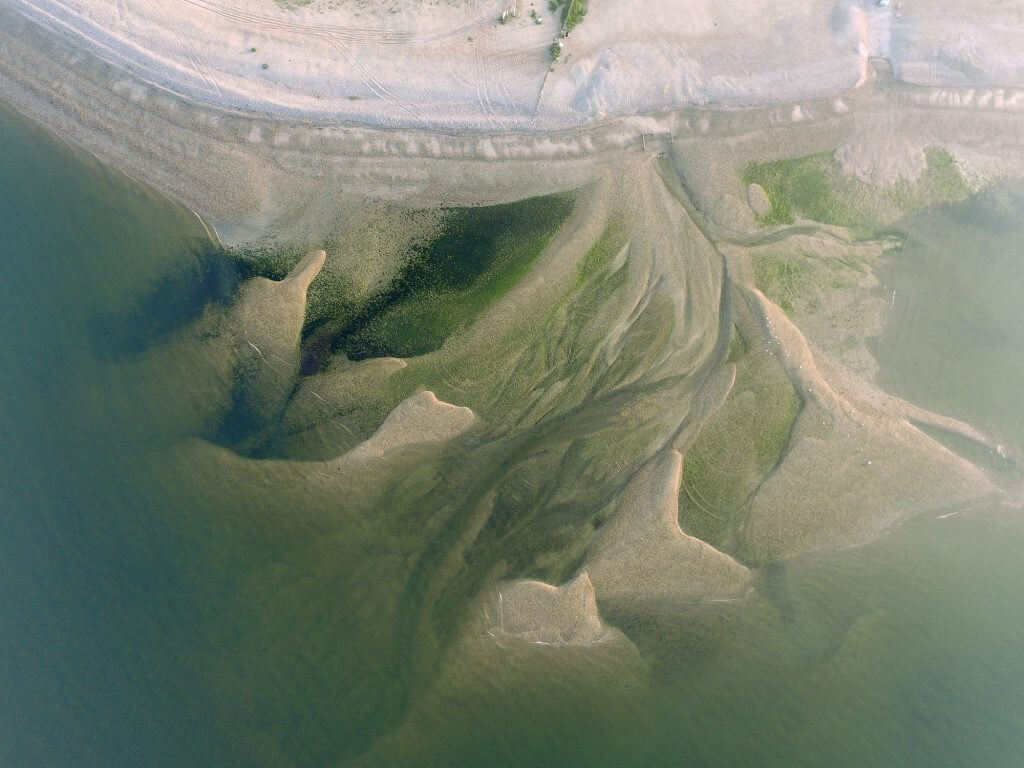
High Accuracy Surveys for Littlehampton Projects
Our drone surveys provide a clear view of land conditions, structures and operational areas without disrupting your site. Using RTK-enabled drones and industry-leading software, we produce detailed point clouds, orthomosaics and digital models suitable for CAD workflows. This ensures your engineers receive data that is accurate, consistent and aligned with project needs.
We understand that every site in Littlehampton presents different constraints. Steep gradients, restricted access or active plants can all make traditional surveying slow and hazardous. Our approach removes these issues by capturing information from above, allowing work on the ground to continue safely.
Clients rely on our surveying experience to interpret data correctly and advise on the most suitable method for each task. Whether photogrammetry or LiDAR is required, we assess the benefits of each and deliver the option that provides the most reliable results.
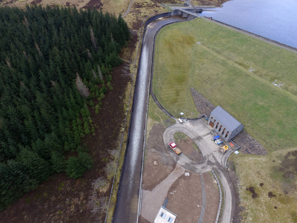
Improved Safety and Reduced Site Disruption
Safety is central to every operation we undertake. Our CAA-approved pilots, surveyors and engineers follow strict procedures to maintain safe flight paths and minimise on-site interaction. This allows us to complete surveys in busy or sensitive areas across Littlehampton without introducing unnecessary risks.
By removing the need for manual surveying in hazardous or restricted zones, our drone surveys significantly reduce exposure to working at height, unstable terrain and moving machinery. This supports your compliance requirements and protects your workforce.
With fast aerial capture and minimal set-up time, we also limit disruption to ongoing operations. Construction, infrastructure and land management activities can continue as normal while we collect high-quality data from above.

Reliable Data for Construction and Engineering
Our investment in advanced equipment ensures you receive clear, consistent and ready-to-use deliverables. From volumetrics and cut-fill analysis to topographic mapping and progress monitoring, every dataset is processed in-house to maintain full control over accuracy.
We integrate your preferred CAD and reporting tools to create a smooth workflow for your engineers. This helps project teams collaborate more easily, make decisions faster and avoid delays linked to incomplete or low-quality information.
Whether you are planning early-stage design work or need precise measurement for an active scheme, our drone survey service in Littlehampton supports each step with dependable data and professional guidance.
Request a Drone Survey in Littlehampton
If you need a fast, accurate and safe drone survey in Littlehampton, speak to Pathfinder Drone today. We will review your site, explain the right approach, and provide a clear, no-pressure quote. Call us to discuss your project and see how our surveying team can support your work with safe, accurate, and practical data.
Contact Us
6 The Gardens Office Village, Fareham, Portsmouth, Hampshire PO16 8SS
Related Services

Inspections & Surveys
Infrastructure, FM & Utilities