Drone Survey Chichester: Specialist aerial mapping and aerial surveying
CAA Accredited pilots approved for commercial operations.
- High accuracy drone surveys and inspections – for all industries
- Highest safety standards – fully insured with £5m Public Liability
- Comprehensive and reliable data from industry leading reporting software
Call 01329 887 337 for more information or to request your fast, no-obligation quote.
Drone Survey Chichester
Our drone surveys in Chichester provide accurate data for construction, engineering and land projects. We use advanced UAV systems and proven surveying methods to collect precise information with full safety control. The results support faster decisions, reduced site risks and improved reporting for your teams.
As a family-owned surveying business, we combine industry knowledge with strong technical capability. Every project is carried out by trained operators with backgrounds in construction, civil engineering and surveying, ensuring you receive data you can rely on without delays or uncertainty.


Chat with us about how drone surveys can help your business
Drone Surveys for Construction and Engineering
Our drone surveys support a wide range of construction and engineering tasks across Chichester. We provide high-accuracy mapping, earthworks measurements, inspection data and 3D outputs suitable for CAD workflows. This helps project managers maintain safe operations on active or restricted sites.
Our approach reduces time on site and limits the need for tower access, scaffolding or long manual checks. Your teams can focus on delivery while we handle full data capture. Our technology produces reliable files that fit straight into your workflow.
With our background in engineering, we know the standards expected on live sites. Surveys are completed with strict safety procedures, qualified staff and industry-recognised equipment, giving you confidence from start to finish.
Safe and Efficient Inspections
For clients who need asset inspections in Chichester, our UAV systems provide a safe way to access hard-to-reach areas. From roofs and tall structures to confined industrial spaces, we can gather high-quality information without exposing your staff to avoidable hazards.
Our high-resolution imaging supports maintenance teams, site managers and asset owners by providing clear visibility of faults, condition issues and structural concerns. This allows faster planning, reduced downtime and stronger compliance records.
Every inspection follows CAA regulations and is supported by £5m public liability insurance. Our surveyors are trained to operate safely around live sites, machinery and operational areas.

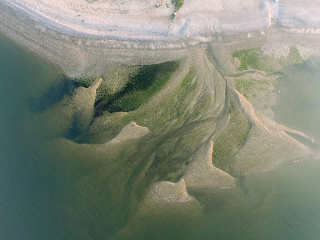
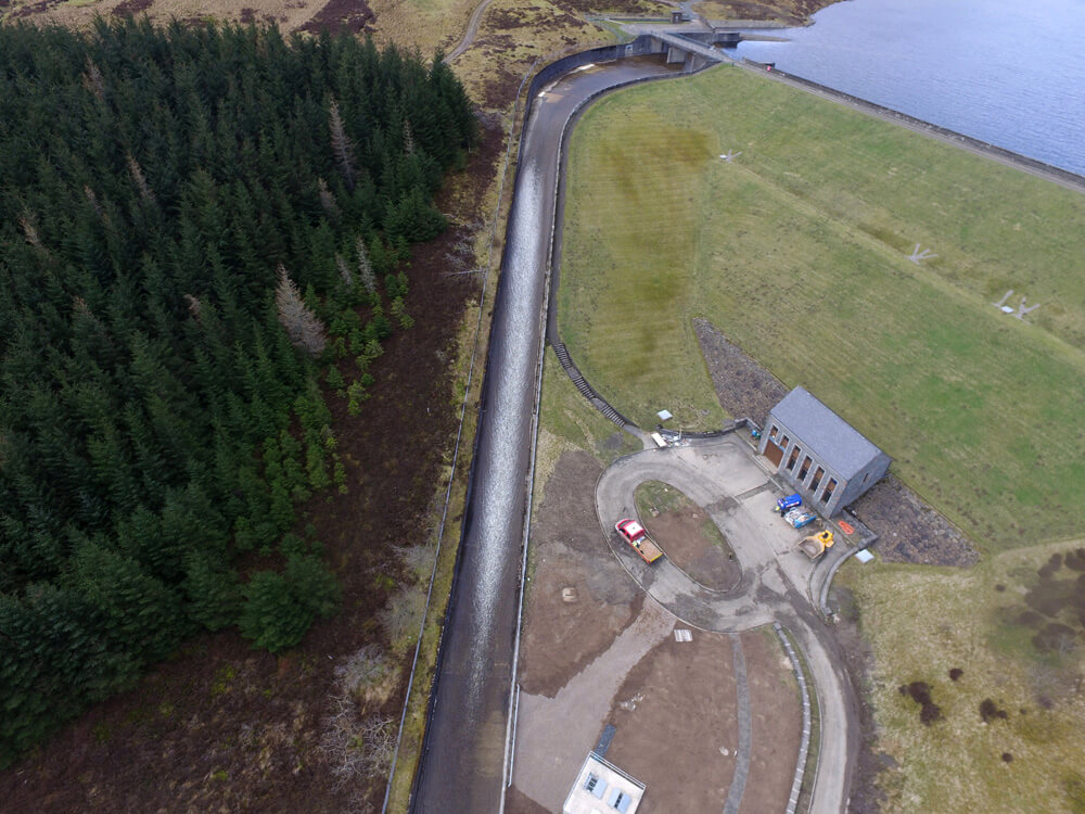
Advanced Data for Land, Environmental and Industrial Sites
We also support environmental contractors, landfill operators and land management teams with accurate mapping and monitoring services. Our UAVs capture detailed terrain information, stockpile volumes, slopes, vegetation changes and surface conditions with strong consistency.
For industrial sites, our systems handle thermal checks, structural reviews and complex site layouts. We use reliable UAV platforms, RTK positioning and specialist software to produce clear outputs for engineering, planning and maintenance teams.
All data is processed in-house using proven software to ensure accuracy and continuity. We offer point clouds, mesh files, 2D mapping and 3D models suitable for a wide range of workflows.
Contact Us for Drone Surveys in Chichester
If you need a fast, safe and reliable drone survey in Chichester, our team is ready to support your project. We provide clear data, strong safety standards and a professional service backed by years of real industry experience. Speak with us to discuss your site requirements, timeframes and deliverables. We are here to help you plan with confidence and keep your project moving without disruption.
Contact Us
6 The Gardens Office Village, Fareham, Portsmouth, Hampshire PO16 8SS
Related Services

Inspections & Surveys
Infrastructure, FM & Utilities