Drone Survey Dorset: Specialist aerial mapping and aerial surveying
CAA Accredited pilots approved for commercial operations.
- High accuracy drone surveys and inspections – for all industries
- Highest safety standards – fully insured with £5m Public Liability
- Comprehensive and reliable data from industry leading reporting software
Call 01329 887 337 for more information or to request your fast, no-obligation quote.
Advanced Drone Surveys in Dorset
We provide professional drone surveys in Dorset, supporting clients in construction, engineering, and infrastructure with precise and actionable data. At Pathfinder Drone, our mission is to improve site safety, reduce downtime, and enhance decision-making through innovative aerial technology and reliable project delivery.


Chat with us about how drone surveys can help your business
Elevating Project Insight
Modern projects demand fast, accurate data—and that’s where our drone services stand out. Using advanced imaging, photogrammetry, and 3D modelling, we deliver topographic, volumetric, and inspection surveys tailored to your site requirements. Every dataset we provide integrates seamlessly with your existing CAD or BIM workflows, saving you time and improving clarity at every stage.
Because we own and maintain our entire fleet, we can mobilise quickly and operate efficiently, no matter the scale or scope of your site. Our in-house approach ensures consistent quality, dependable scheduling, and full control over health and safety compliance.
Tailored Aerial Solutions
We adapt each survey to meet the unique needs of your project. Our capabilities include:
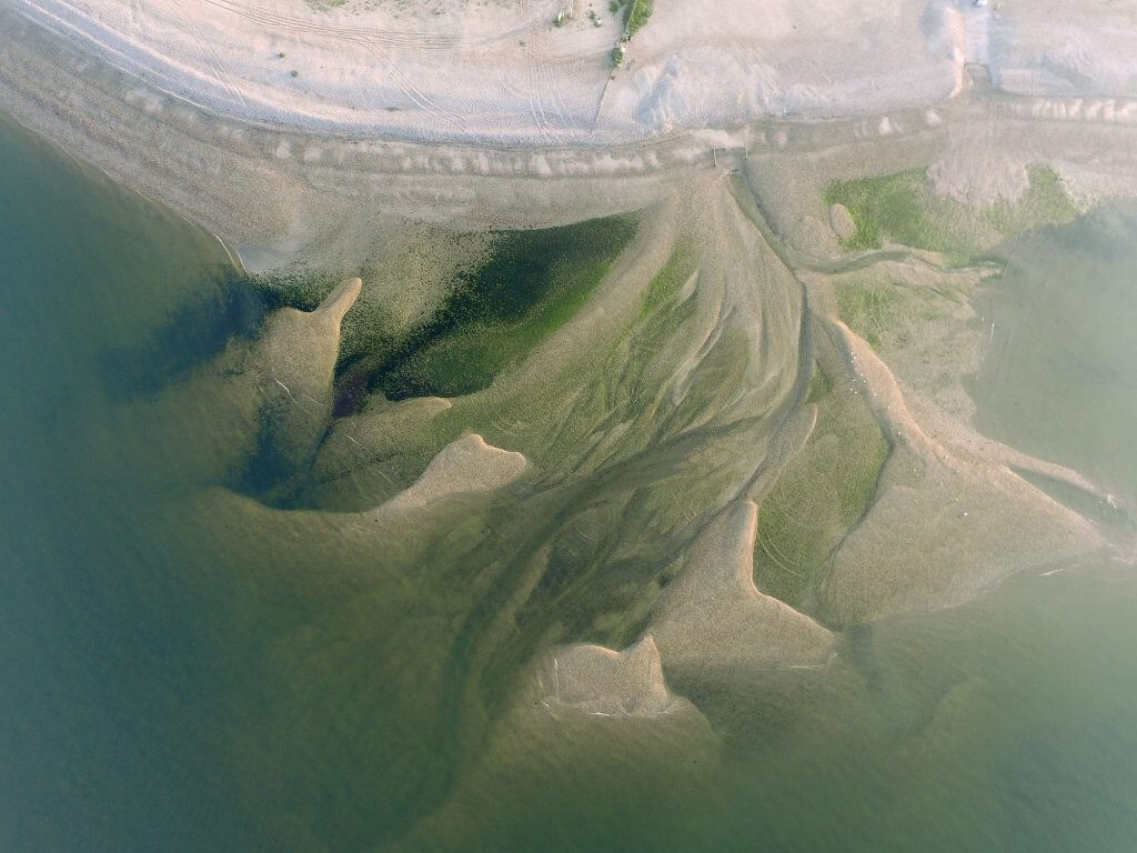
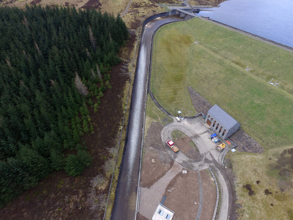
- Topographic and site mapping for construction and design
- Thermal building inspections, ideal during winter months
- Solar panel inspections to assess performance and detect issues
- Asset and infrastructure inspections for hard-to-reach structures
- 2D orthomosaics and 3D modelling to support detailed project planning
These services give you a complete visual overview of your assets and terrain, supporting better decisions and stronger project outcomes.
What Sets Pathfinder Drone Apart
Our clients choose us for our commitment to safety, reliability, and innovation. Every project benefits from:
- End-to-end service and transparent communication
- Fast mobilisation with minimal site disruption
- High-resolution data for confident reporting
- In-depth experience across industrial sectors
We pride ourselves on combining technical expertise with flexible, practical delivery—helping your team stay on track and on budget.

Reducing Risk, Not Precision
controlled, safe working environments. By replacing traditional access methods with unmanned aerial systems, we remove the need for scaffolding, cherry pickers, or rope access—minimising exposure to hazards without compromising on accuracy.
This safer method of surveying not only protects your workforce but also allows inspections to be carried out in previously difficult or dangerous areas. From structural monitoring to environmental mapping, our technology captures more data with fewer site interruptions.
Talk to Us About Your Next Project
If your business needs a drone survey in Dorset, we’re here to help. Get in touch with Pathfinder Drone today to discuss your requirements, and let us show how professional aerial surveying can enhance accuracy, efficiency, and safety on your next project.
Contact Us
6 The Gardens Office Village, Fareham, Portsmouth, Hampshire PO16 8SS
Related Services

Inspections & Surveys
Infrastructure, FM & Utilities