Drone Survey Kent: Specialist aerial mapping and aerial surveying
CAA Accredited pilots approved for commercial operations.
- High accuracy drone surveys and inspections – for all industries
- Highest safety standards – fully insured with £5m Public Liability
- Comprehensive and reliable data from industry leading reporting software
Call 01329 887 337 for more information or to request your fast, no-obligation quote.
Aerial Data You Can Trust – Professional Drone Surveys in Kent
At Pathfinder Drone, we provide precise and efficient drone surveys across Kent, helping businesses in construction, engineering, and project management make informed decisions with accurate data. Our work combines aerial expertise with industry-grade technology to deliver measurable results that reduce risk, save time, and enhance project outcomes.


Chat with us about how drone surveys can help your business
Reliable, Data-Driven Surveys
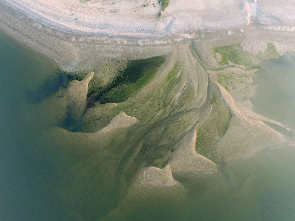
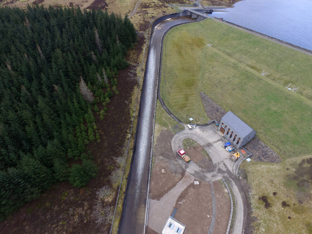
Our drone survey services are designed to simplify data collection while maintaining the highest standards of accuracy and safety. Using advanced imaging, topographic mapping, and 3D modelling, we capture detailed information over large areas quickly and without disruption to site operations.
We own and operate all our equipment in-house, ensuring flexibility and reliability from initial planning to final data delivery. Each survey is tailored to your specific requirements, whether it’s for planning, design, monitoring, or inspection.
Why Choose Pathfinder Drone
Pathfinder Drone is the premier partner in your project’s success. Our clients choose us for:
- Accuracy and innovation in every deliverable
- Safety-first methods backed by industry experience
- Flexible, cost-effective solutions tailored to each site
- Clear, actionable data that supports confident decision-making
Whether you’re managing a large-scale development or need a targeted inspection, we deliver dependable results that meet professional standards across the board.
Comprehensive Aerial Services
We offer a full range of aerial and ground data solutions, including:
- Topographic and volumetric surveys for construction and engineering
- Thermal building inspections, ideal for identifying heat loss and insulation issues
- Solar thermal inspections, providing clear insight into energy performance
- Infrastructure and asset inspections for hard-to-reach or hazardous areas
- 2D and 3D mapping to complement traditional CAD and planning workflows
Every project benefits from our turnkey service, integrating multiple technologies to provide a complete visual and measurable record.

A Safer, Smarter Approach
Traditional survey methods often involve working at height or using heavy access equipment. With our unmanned inspection approach, we eliminate these risks while maintaining precision. Our experience within the civils and petrochemical industries means safety isn’t just a compliance requirement—it’s at the heart of every project we undertake.
We’re also able to mobilise rapidly, meaning you won’t need to wait for scaffolding, cherry pickers, or other enabling works. Our drones can be deployed efficiently, giving you results faster without compromising on quality or safety.
Get in Touch
If you’re looking for a reliable partner for drone surveys in Kent, contact us today to discuss your requirements. We’ll help you plan and complete your next project with precision, safety, and efficiency from start to finish.
Contact Us
6 The Gardens Office Village, Fareham, Portsmouth, Hampshire PO16 8SS
Related Services

Inspections & Surveys
Infrastructure, FM & Utilities