Drone Survey Southampton: Specialist aerial mapping and aerial surveying
CAA Accredited pilots approved for commercial operations.
- High accuracy drone surveys and inspections – for all industries
- Highest safety standards – fully insured with £5m Public Liability
- Comprehensive and reliable data from industry leading reporting software
Call 01329 887 337 for more information or to request your fast, no-obligation quote.
Drone Survey Southampton
Our drone survey services in Southampton provide accurate, dependable data for construction, engineering and industrial sites. Every project is handled by trained surveyors who understand the demands of complex environments and the need for safe, efficient site operations.
Using advanced aerial and terrestrial equipment, we gather high-quality information with minimum disruption. This approach supports faster decisions, stronger reporting and improved project control for clients across the region.


Chat with us about how drone surveys can help your business
Drone Survey Services For Southampton Projects
Our team carries extensive experience across construction, civil engineering and surveying, which means we understand the pressures that come with live sites, deadlines and technical requirements. Drone surveys allow us to capture consistent data quickly, reducing the time your teams spend on site while improving overall safety.
For land development, infrastructure planning or industrial inspections, our equipment provides reliable outputs for design, assessment and monitoring. The combination of aerial images, point clouds and ground-based measurements ensures you receive clear, dependable results suitable for your internal workflows.
Each survey is carried out by operators trained to national aviation standards, supported by high-resolution imaging and proven processing software. This gives you a complete dataset that fits into CAD environments and supports precise measurement, modelling and reporting.
Safe And Efficient Aerial Mapping
Safety remains central to everything we do. Our operators follow strict procedures at all Southampton locations, supported by first aid training, CSCS cards and full public liability insurance. This commitment ensures every inspection or survey is carried out under controlled processes.
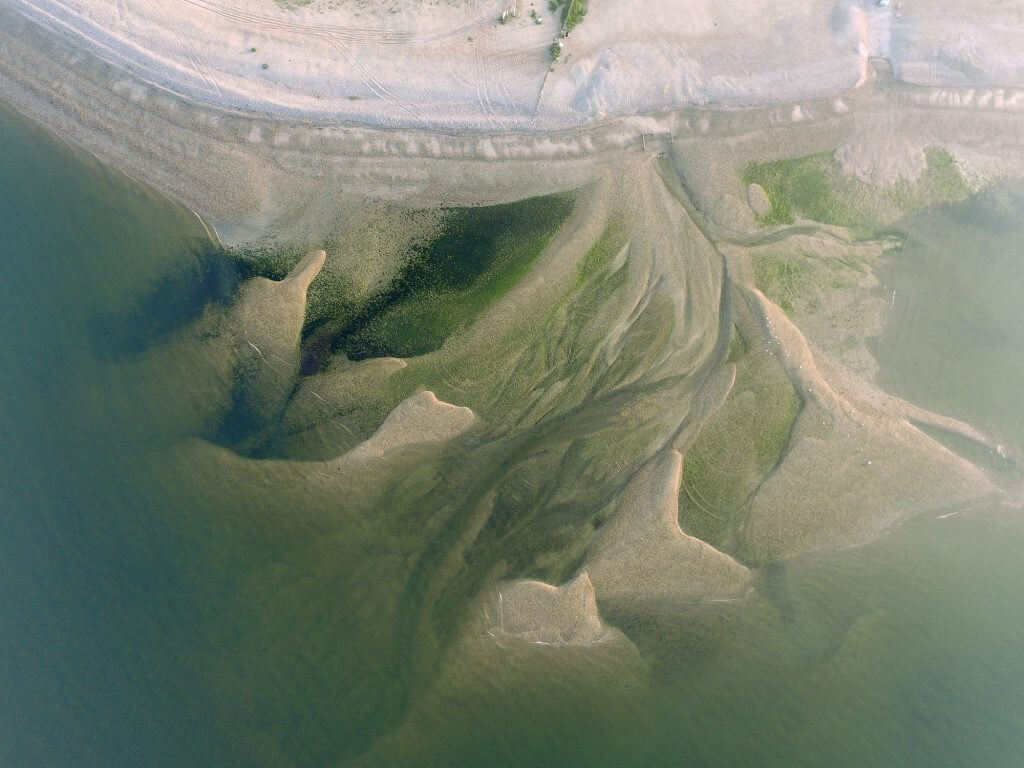
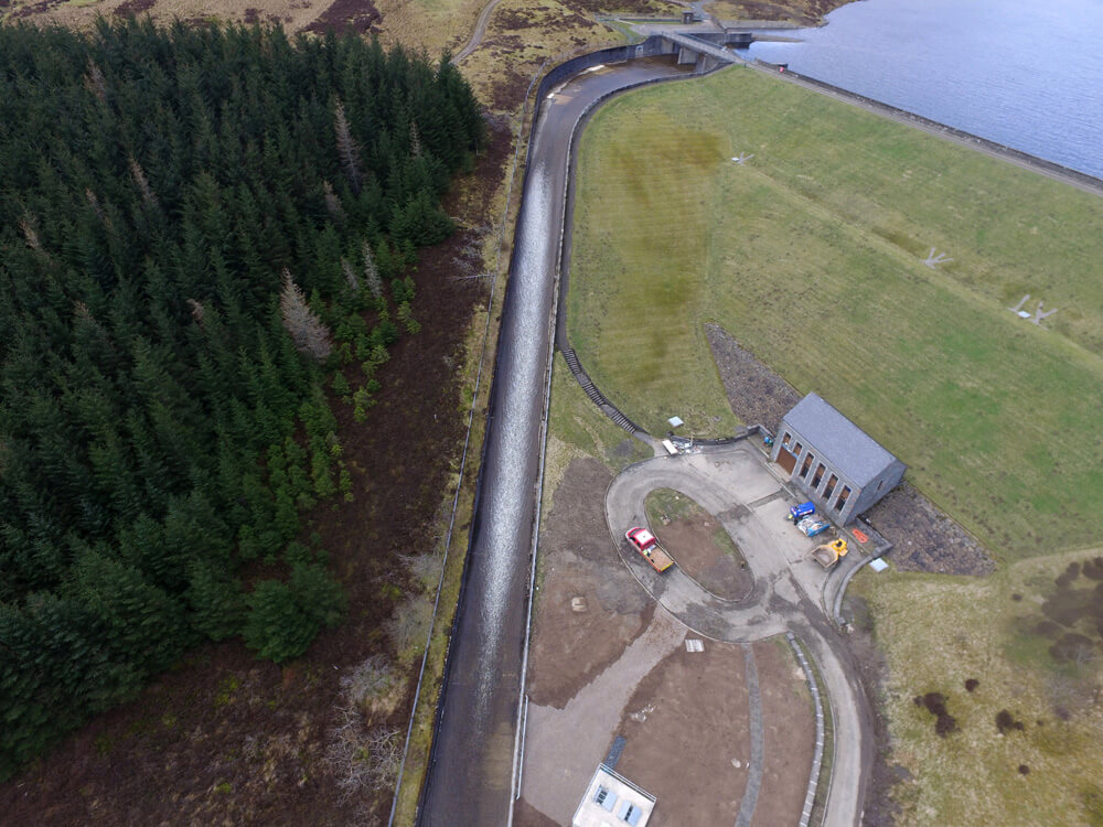
Aerial surveys help remove the need for staff to access steep, active or restricted areas. Instead, data is captured from above, allowing your site teams to continue their work without interruption. This method is particularly useful for busy construction sites, utilities and industrial zones.
We produce 2D and 3D outputs, including point clouds, orthomosaics and terrain models. These files allow engineers and project managers to review conditions remotely, carry out assessments and plan works with confidence.

Technology That Supports Reliable Results
Our fleet includes industry-proven UAVs such as the DJI Matrice series and Phantom 4 RTK, supported by ground instruments including GNSS, total stations and dedicated survey controllers. This mix of equipment allows us to combine aerial and terrestrial data for improved accuracy.
We process all datasets using established software for photogrammetry and modelling. This ensures your project receives clear, dependable outputs suitable for design, measurement and long-term planning. Our in-house processing also removes delays and helps maintain consistent quality.
With cloud collaboration tools available, your team can access files, update records and review information from any location. This supports better coordination between contractors, consultants and internal staff throughout your project’s timeline.
Contact Us For Drone Surveys In Southampton
If you need accurate, efficient drone surveying in Southampton, our team is ready to support your project. We provide reliable data, safe operations and consistent reporting for construction, engineering and industrial environments. Speak with us to discuss your requirements or request a quote. We are committed to delivering the right surveying approach for your site and ensuring you receive information you can depend on.
Contact Us
6 The Gardens Office Village, Fareham, Portsmouth, Hampshire PO16 8SS
Related Services

Inspections & Surveys
Infrastructure, FM & Utilities