Drone Survey Surrey: Specialist aerial mapping and aerial surveying
CAA Accredited pilots approved for commercial operations.
- High accuracy drone surveys and inspections – for all industries
- Highest safety standards – fully insured with £5m Public Liability
- Comprehensive and reliable data from industry leading reporting software
Call 01329 887 337 for more information or to request your fast, no-obligation quote.
Drone Surveys That Keep Surrey Moving
At Pathfinder Drone, we support Surrey’s growing construction and infrastructure sectors through advanced aerial surveying and inspection services. Every survey we complete is designed to help project teams work faster, safer, and with complete confidence in the data behind their decisions.


Chat with us about how drone surveys can help your business
Purpose-Built for Industrial and Commercial Projects
Surrey’s development environment is changing rapidly. From urban regeneration sites to major industrial hubs, project managers need information they can rely on. Our drone survey service brings clarity to challenging environments, capturing accurate visual and dimensional data without disrupting your operations.
We work closely with clients across engineering, construction, and facilities management to create detailed, site-specific deliverables. Whether your focus is pre-construction analysis, ongoing monitoring, or asset condition assessment, our team will plan and execute a survey that meets your exact objectives.
What You Can Expect
When we take on a project, you can expect:
- Clear communication from the initial brief to final delivery
- Fast mobilisation and adaptable scheduling
- Consistent, high-resolution data capture
- Results formatted to your technical requirements
We combine professional discipline with practical insight, ensuring that each dataset we deliver adds measurable value to your workflow.
Deliverables That Drive Progress
We understand that accuracy means more than impressive imagery. Every dataset we produce is processed and geo-referenced to support integration with CAD, GIS, and BIM environments. Our work helps engineers quantify materials, detect design discrepancies, and verify construction progress with measurable precision.
Our services in Surrey include:
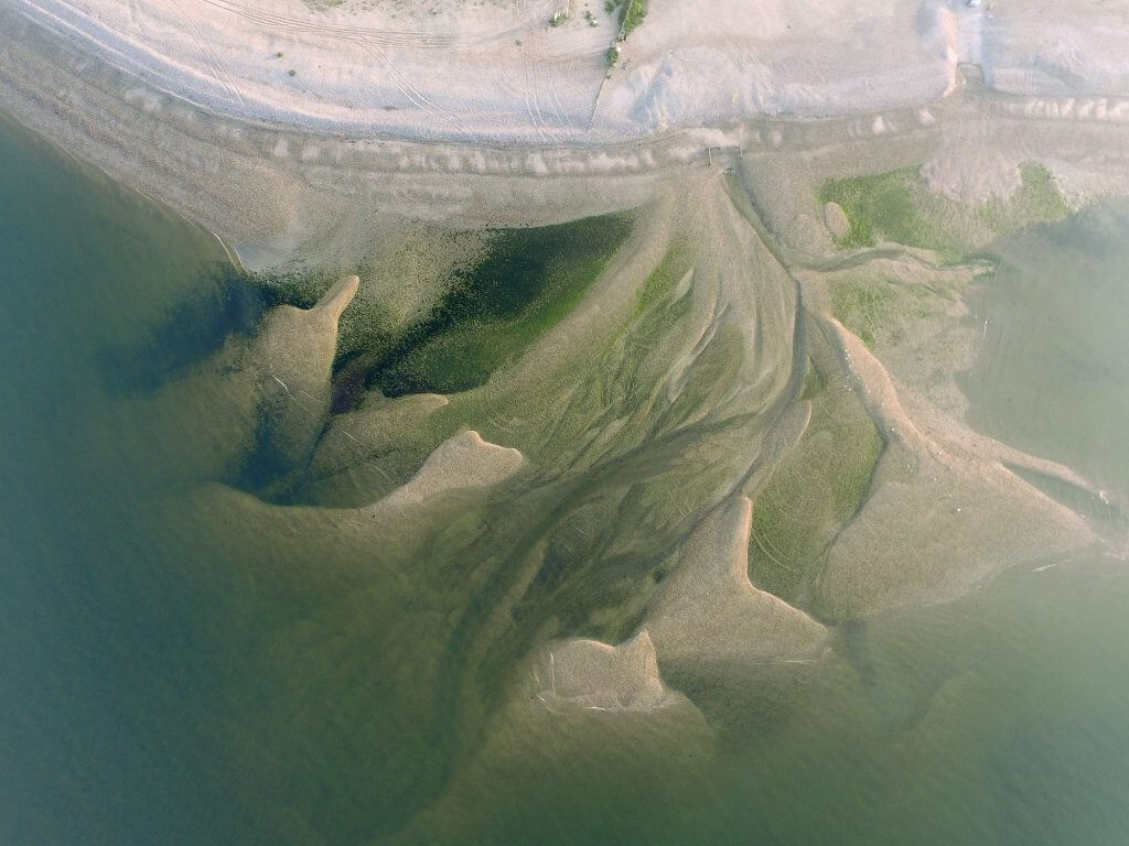
- Topographic surveys for planning and design accuracy
- Volumetric analysis for stockpile and excavation measurement
- Thermal inspections for energy efficiency assessment
- Solar surveys for system performance evaluation
- Structural and façade inspections for asset management
Each survey is built around your preferred output format and reporting needs, ensuring the data you receive fits directly into your workflow.

Speed, Safety, and Precision in Every Flight
Our approach eliminates the risks associated with working at height or using heavy access equipment. By employing unmanned aerial systems, we conduct inspections and surveys that keep personnel safely on the ground while still gathering intricate visual data.
Because we own and maintain all of our drones and sensors, mobilisation is quick, and scheduling is flexible. We can respond to urgent project needs or changing weather conditions with minimal delay, ensuring your data arrives on time and ready for use.
Let’s Discuss Your Next Project
If you’re planning a project and require a drone survey in Surrey, contact us today. We’ll discuss your objectives, advise on the most effective survey method, and provide data that keeps your project moving safely and efficiently.
Contact Us
6 The Gardens Office Village, Fareham, Portsmouth, Hampshire PO16 8SS
Related Services

Inspections & Surveys
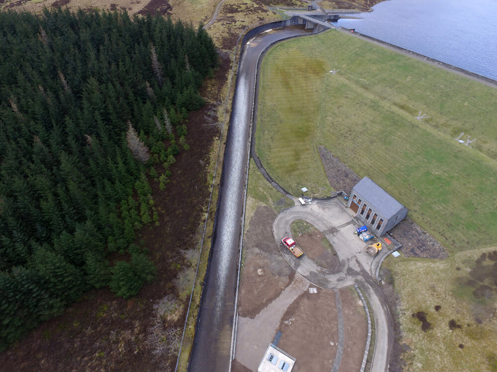
Infrastructure, FM & Utilities