Drone Survey Sussex: Specialist aerial mapping and aerial surveying
CAA Accredited pilots approved for commercial operations.
- High accuracy drone surveys and inspections – for all industries
- Highest safety standards – fully insured with £5m Public Liability
- Comprehensive and reliable data from industry leading reporting software
Call 01329 887 337 for more information or to request your fast, no-obligation quote.
Professional Drone Surveys Across Sussex for Smarter Project Planning
Across Sussex, construction and engineering teams trust Pathfinder Drone for reliable, high-quality aerial data. We deliver drone surveys that make it easier to plan, monitor, and maintain projects of every scale, from infrastructure to industrial facilities.
Our experience spans both civil and petrochemical sectors, giving us the technical grounding to work confidently in demanding environments. Every survey is built on the principles of safety, precision, and efficiency.


Chat with us about how drone surveys can help your business
National Coverage, Local Expertise
Our operations in Sussex. Each region presents its own challenges, from dense urban planning restrictions to remote rural topography. We adapt our approach to each site, handling all regulatory and logistical aspects in-house. That includes flight planning, risk assessments, and compliance with Civil Aviation Authority standards.
By keeping our drone fleet, cameras, and sensors under our direct management, we maintain flexibility and full control over the results. This in-house capability allows rapid mobilisation and consistent accuracy, essential when clients depend on tight schedules and dependable delivery.
Designed for Professional Use
We work closely with B2B clients who require verified data to inform critical project stages. Whether you need a full topographic model before design, a volume calculation for site management, or an inspection of assets that can’t safely be reached by people, our team provides a straightforward, data-driven service.
We capture:
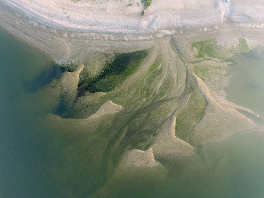
- Topographic and volumetric surveys for construction and earthworks
- Thermal imaging for heat-loss and insulation performance
- Solar inspections for energy system diagnostics
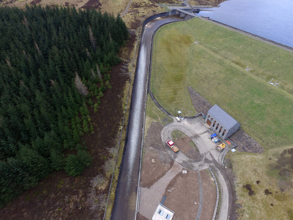
- Asset and infrastructure inspections for roofs, bridges, and pipelines
- 2D and 3D outputs compatible with CAD, GIS, and BIM systems
These deliverables provide measurable, repeatable information that integrates seamlessly into existing project workflows.

Partnership Through Data
We see our work as a partnership. Clients come to us because they rely on the insight and imagery our data provides. By understanding your objectives from the outset, we produce outputs that are immediately useful and technically accurate. The result is a streamlined, evidence-based process that supports better decision-making at every level of a project.
Safety as Standard
Our safety record reflects our background in high-risk industries. Every operation begins with detailed planning to remove unnecessary exposure to hazards. Drone technology allows us to inspect structures and terrain without scaffolding, cherry pickers, or plant equipment, reducing downtime and risk across the board.
Let’s Discuss Your Next Project
If you’re seeking a drone survey anywhere in Sussex, contact Pathfinder Drone today. We’ll tailor a service that aligns with your project’s location, timeline, and data requirements, delivering safe, professional results every time.
Contact Us
6 The Gardens Office Village, Fareham, Portsmouth, Hampshire PO16 8SS
Related Services

Inspections & Surveys
Infrastructure, FM & Utilities