Drone Survey Wiltshire: Specialist aerial mapping and aerial surveying
CAA Accredited pilots approved for commercial operations.
- High accuracy drone surveys and inspections – for all industries
- Highest safety standards – fully insured with £5m Public Liability
- Comprehensive and reliable data from industry leading reporting software
Call 01329 887 337 for more information or to request your fast, no-obligation quote.
Professional Drone Surveys Across Wiltshire
At Pathfinder Drone, we carry out drone surveys in Wiltshire for clients across construction, engineering, infrastructure, and asset management. Our goal is simple: to deliver accurate, data-rich insights that improve safety, speed up decision-making, and reduce disruption across every stage of your project.


Chat with us about how drone surveys can help your business
Reliable Data in an Intricate City
Working within Wiltshire’s dense urban environment requires precision and planning. Restricted airspace, busy transport links, and tight site boundaries mean that each operation must be carefully coordinated. We take care of every element—from Civil Aviation Authority permissions to risk assessment and on-site communication—so your survey runs smoothly and safely.
We understand that timing is crucial for our clients. Because we own and operate all our drones, cameras, and sensors in-house, we can respond quickly to schedule changes or urgent site needs. This flexibility helps us deliver results within tight project timelines while maintaining the accuracy you expect from a professional service provider.
Our Range of Survey and Inspection Services
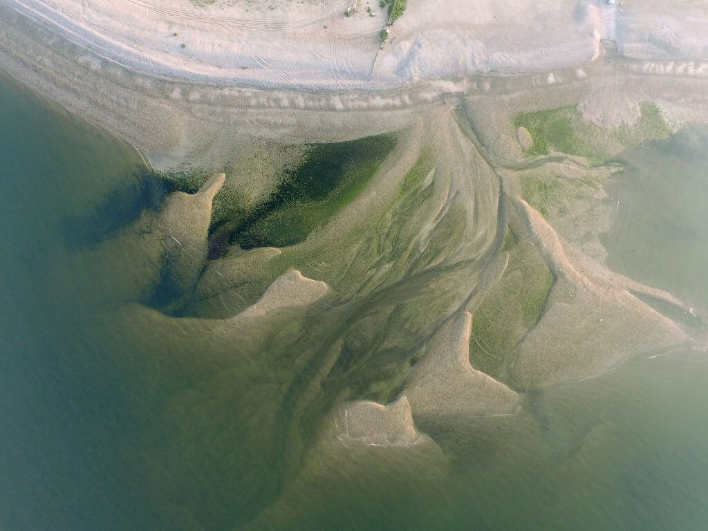
- Topographic and volumetric surveys to measure landform and stockpile data
- Thermal imaging and infrared surveys to locate heat loss or water ingress
- Solar inspections for performance and fault detection
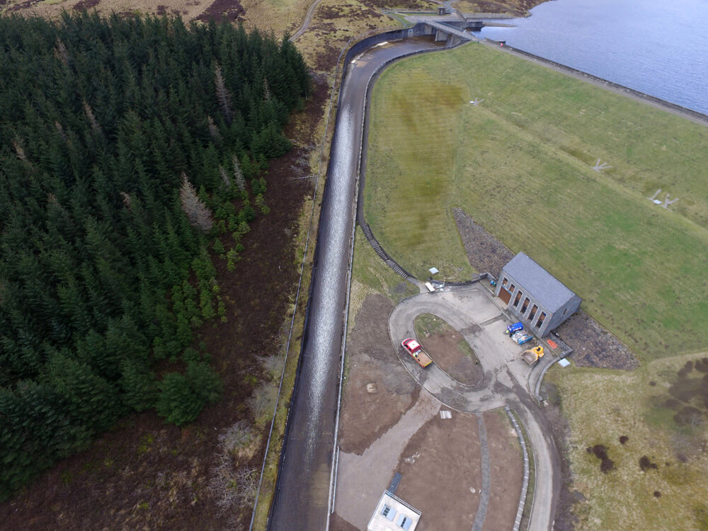
- Asset and infrastructure inspections for roofs, bridges, and façades
- 2D mapping and 3D modelling for design and visual documentation
Every project is tailored to your site and objectives, ensuring the deliverables you receive are accurate, practical, and ready to integrate with your systems.
Why Work with Pathfinder Drone
Our clients choose us for our technical ability, professionalism, and focus on safety. With a background in the civils and petrochemical sectors, we bring an understanding of how aerial data supports larger project frameworks. We combine this expertise with efficient workflows and clear communication to keep your team fully informed at each stage.
- You can rely on us for:
- Full compliance with all Wiltshire flight restrictions
- Safe, unmanned inspections that eliminate working at height
- Rapid mobilisation and reliable scheduling
- Consistent, high-quality data and reporting

Aerial Solutions That Deliver More
Our Wiltshire-based surveys capture high-resolution imagery, photogrammetry, and topographic data to support CAD, GIS, and BIM workflows. By combining multiple data sets, we can produce digital twins, orthomosaics, and 3D models that give your team a complete understanding of the site.
For construction projects, our surveys assist with earthworks measurement, progress tracking, and quality verification. For engineering and facilities management, we offer detailed inspections that highlight structural concerns or maintenance priorities.
Contact Pathfinder Drone
If you require a drone survey in Wiltshire, get in touch with us today. We’ll discuss your project requirements, plan an appropriate survey method, and deliver high-quality aerial data to help your business work more safely and efficiently.
Contact Us
6 The Gardens Office Village, Fareham, Portsmouth, Hampshire PO16 8SS
Related Services

Inspections & Surveys
Infrastructure, FM & Utilities