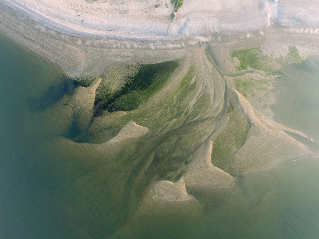
Drone Survey Worthing: Specialist aerial mapping and aerial surveying
CAA Accredited pilots approved for commercial operations.
- High accuracy drone surveys and inspections – for all industries
- Highest safety standards – fully insured with £5m Public Liability
- Comprehensive and reliable data from industry leading reporting software
Call 01329 887 337 for more information or to request your fast, no-obligation quote.
Drone Survey Worthing
Our drone survey services in Worthing provide accurate data for construction, civil engineering, utilities and environmental projects. By combining aerial technology with proven surveying methods, we help you improve site planning, safety and reporting in a straightforward and cost-effective way.
Our team has long experience in surveying, engineering and property inspection. This allows us to understand site demands, operate safely and supply data that supports real project decisions. Every survey is carried out with trained staff, CAA approval and industry-standard equipment.

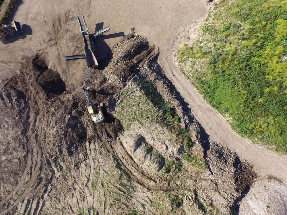
Chat with us about how drone surveys can help your business
Drone Survey Services for All Worthing Projects
Our work in Worthing supports contractors, developers and asset owners who need reliable information across a range of sites. From complex industrial settings to new development land, our drone surveys offer accurate measurements, clear imagery and consistent reporting.
We use advanced UAVs with RTK capability to collect high-precision data. This includes orthomosaics, point clouds and structured outputs suitable for CAD and modelling workflows. Our approach reduces time on site while improving data capture across large or constrained areas.
By combining aerial surveys with traditional methods where needed, we can handle projects of all scales. This hybrid method helps control risk, reduce manpower requirements and support safe working on active or restricted sites.
Why Drone Surveys Support Better Project Outcomes
Contractors in Worthing often face challenges related to access, traffic, uneven ground or limited working hours. Drone surveys remove many of these issues by gathering data from above without interrupting ongoing work.
Our systems reduce reliance on slow ground tools and help project teams collect consistent information for planning, progress checks and inspection tasks. This supports faster reporting, improved accuracy and better coordination of project activity.
We also work with multiple industries, including construction, environmental management, utilities and facilities teams. Each project receives clear data outputs that can be used for design reviews, asset inspections, volumes, tracking and wider studies.

Technology We Use to Deliver Reliable Data
Our fleet includes RTK drones, thermal and RGB sensors, GNSS receivers and total station equipment. This ensures accurate and repeatable results across a wide variety of Worthing sites.
Data is processed using advanced software for modelling, measurement and reporting. This includes 2D and 3D outputs suitable for engineering teams, project managers, designers and stakeholders. Our cloud workflow also supports easy coordination between site staff and office teams.
Every survey follows strict safety procedures with trained operators, first aid cover and industry accreditation. This helps protect your staff, your assets and your project programme.
Request Your Drone Survey in Worthing
If you need a professional drone survey in Worthing, our team is ready to support your project with accurate data, safe operations and fast turnaround. We provide clear reporting, competitive pricing and reliable service for sites of all types. Contact us today to discuss your requirements or to arrange a no-obligation quote.
Contact Us
6 The Gardens Office Village, Fareham, Portsmouth, Hampshire PO16 8SS
Related Services

Inspections & Surveys
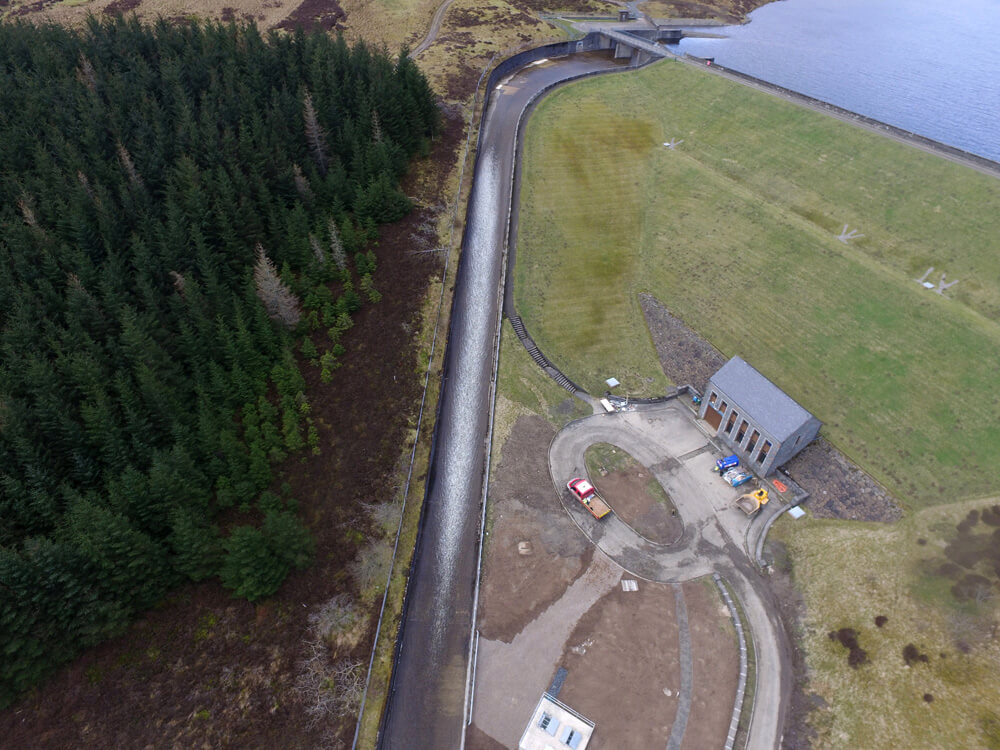
Infrastructure, FM & Utilities