Land Surveyors Oxford
CAA Accredited pilots approved for commercial operations.
- High accuracy drone surveys and inspections – for all industries
- Highest safety standards – fully insured with £5m Public Liability
- Comprehensive and reliable data from industry leading reporting software
Call 01329 887 337 for more information or to request your fast, no-obligation quote.
Land Surveyors Oxford
Pathfinder Drone provides formal, safety-led Land Surveyors Oxford services for clients who need accurate site data, detailed inspection records and reliable reporting before a project moves forward. We combine drone surveys, topographic surveys and unmanned inspection services with practical project understanding, helping you capture the right survey information without unnecessary site disruption.
When a construction, property or infrastructure project depends on accurate measurements, access constraints and incomplete visual records can create delay, uncertainty and risk. Our team supports land surveying Oxford requirements with drone technology, high-quality equipment and a structured approach to data capture. Whether you need a survey report for planning, design, construction phases, maintenance or professional property advice, we deliver information in a timely manner and with a clear focus on safety.


Chat with us about how drone surveys can help your business
What We Do as Land Surveyors Oxford Specialists
Pathfinder Drone delivers a full range of surveying services designed for commercial sites, residential projects, operational premises and complex land or building environments. Our services are particularly useful where traditional inspection methods would be slower, more disruptive or harder to carry out safely.
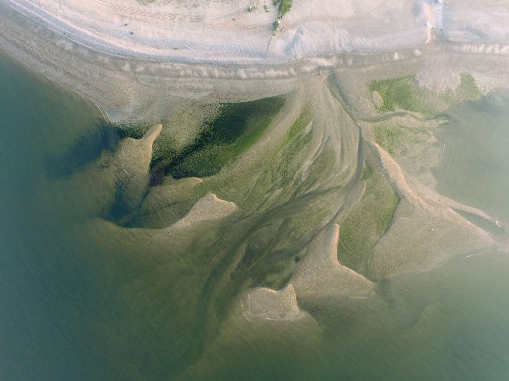
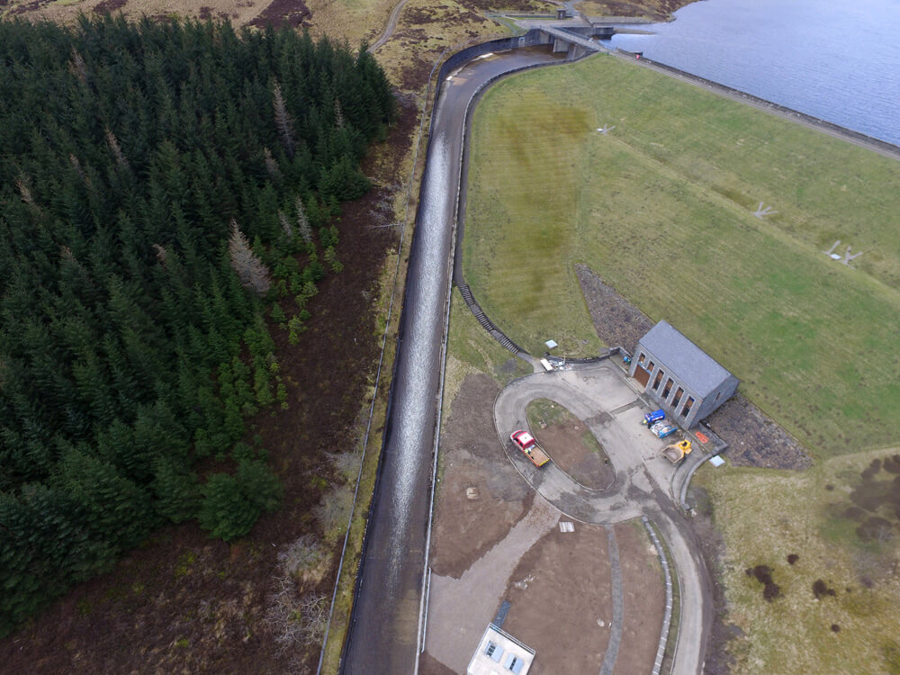
We support clients with drone surveys for land, roofs, structures, sites and assets, as well as topographic surveys that help designers, contractors and project teams understand levels, boundaries, features and site conditions. Our unmanned inspection service is suitable for elevated structures, hard-to-reach areas, listed buildings, older buildings, construction areas and locations where safe access is limited.
What We Offer
- Topographic surveys: accurate site data for construction, design, development and infrastructure planning.
- Drone inspection services: visual inspection of roofs, façades, structures, land and operational environments.
- Survey reporting: clear imagery, measurements and a detailed report where required for project teams and stakeholders.
- Site surveys: practical data capture for property, construction and asset management requirements.
- Unmanned inspection: safer access to difficult, elevated or restricted locations without unnecessary disruption.

Why Choose Pathfinder Drone
Pathfinder Drone is led by founder Harry Fuge, an expert in drone inspections and topographical surveys. Harry supports businesses on large-scale projects and brings extensive knowledge, high-quality equipment and a practical understanding of safety-critical site work. Our commitment is to quality, precision and reliable, cost-effective results.
We are often chosen because we provide a turnkey solution rather than a narrow survey-only service. By combining multiple technologies, in-house equipment ownership and a safety-led delivery model, we can support a comprehensive range of site needs from initial land data capture through to detailed inspection work. This is particularly valuable for clients managing construction, property, maintenance or development decisions.
- Founder-led expertise: Harry Fuge brings direct experience in drone inspections and topographical surveys.
- Safety-led delivery: our unmanned approach helps reduce unnecessary working at height and access risk.
- Professional outputs: we focus on accurate data, clear reporting and practical advice.
- High client satisfaction: Pathfinder Drone has a Google average review rating of 5/5.
- Flexible project support: we work with clients, contractors, consultants and property professionals.
Some clients compare providers such as Henderson Building Surveyors, local chartered surveyors, Oxford land surveys specialists and drone inspection companies before deciding who is the best surveyor partner for their needs. Our role is clear: we provide professional drone surveys, topographic surveys and unmanned inspection services, and we work constructively alongside RICS professionals where a Royal Institution of Chartered Surveyors report is required. Whether your site is in Oxford, wider Oxfordshire or locations such as Chipping Norton, we keep the focus on accurate evidence, helpful communication and great service.
Contact Pathfinder Drone today for Land Surveyors Oxford
Tell us about your land, construction site, house, property or building requirement, and we will prepare a clear free quote for the services you need. From accurate drone surveys to comprehensive topographic surveys and unmanned inspection work, our team is ready to help you move forward with confidence in Surveyors Oxford.
Contact Us
6 The Gardens Office Village, Fareham, Portsmouth, Hampshire PO16 8SS
Related Services

Inspections & Surveys
Infrastructure, FM & Utilities