Land Surveyors Somerset
CAA Accredited pilots approved for commercial operations.
- High accuracy drone surveys and inspections – for all industries
- Highest safety standards – fully insured with £5m Public Liability
- Comprehensive and reliable data from industry leading reporting software
Call 01329 887 337 for more information or to request your fast, no-obligation quote.
Land Surveyors Somerset
Pathfinder Drone provides land surveying support for projects in Surveyors Somerset. When a site is difficult to access, when accurate data is needed quickly, or when a project depends on reliable survey information, our team is ready to support you with a professional, practical approach.
If you are looking for surveyors in Somerset, we offer surveying services that help clients plan with confidence, reduce uncertainty and move forward with informed decisions. We work with commercial and residential property owners, project teams, engineers and businesses that need accurate surveys for land, buildings and complex sites.
Founded by Harry Fuge, Pathfinder Drone is a formal, independent practice built around drone inspections and topographical surveys. We use high-quality equipment and a clear process to support projects where access, safety and precision all matter. Our work helps clients obtain useful data for planning, design, asset checks and wider project coordination in Surveyors Somerset.


Chat with us about how drone surveys can help your business
What we do
Our surveying services are designed to provide a full range of practical support for land and property projects in Surveyors Somerset. We focus on accurate surveys that can inform the next stage of work, whether that is a building survey, a topographical survey, a drone inspection or measured data for a development site.
We support clients who need a surveyor to capture reliable information from site conditions, access constraints, drainage systems, surrounding features and visible structures. Our work is suitable for land, buildings, commercial premises, residential assets and projects that require careful coordination across multiple teams.
We understand that local knowledge matters. Surveyors Somerset projects can involve rural access, busy commercial sites, open land, development areas and operational buildings, all of which affect how surveys are planned and carried out. Our team works to provide clear communication from the first enquiry through to delivery of the final data.
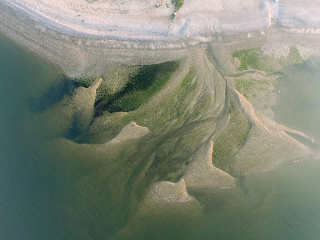
- Topographical surveys for land, development sites and infrastructure.
- Surveying services for commercial and residential projects.
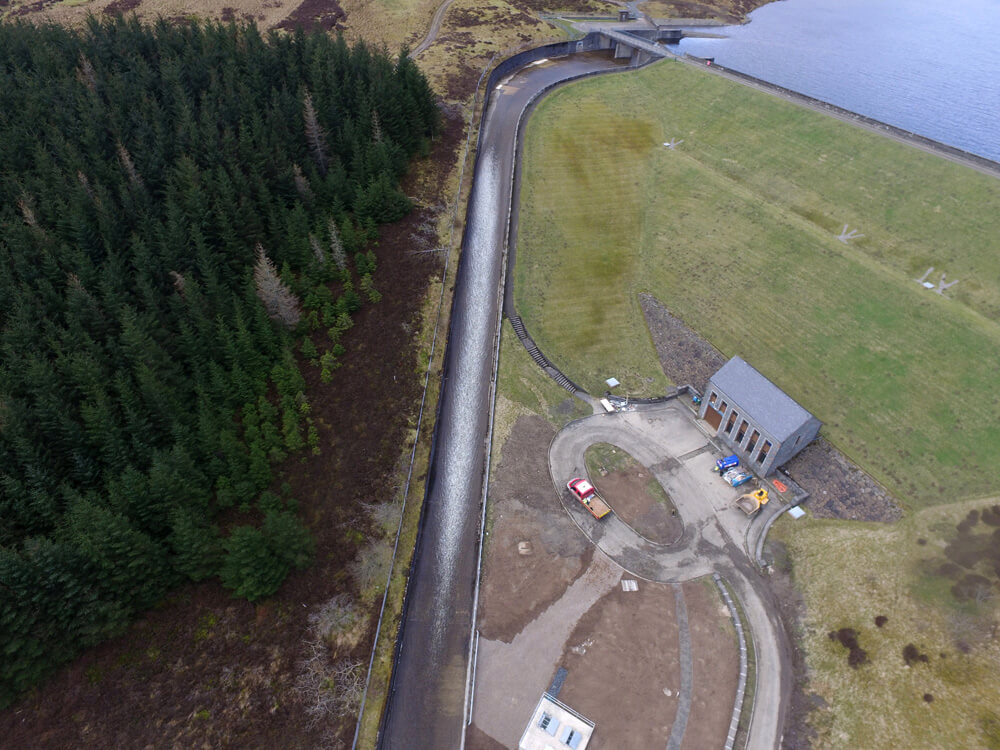
- Drone inspections for buildings, roofs and hard-to-reach areas.
- Data capture that helps clients make informed decisions.
- Support for projects that require accurate, reliable and professional survey outputs.
We are able to support projects across Somerset, including Taunton, Weston Super Mare, Weston Super, Exmoor National Park and surrounding areas. We also work with clients whose projects connect into the wider south west and west country, including links with Bristol, Devon and South Wales, while keeping Surveyors Somerset as the primary location focus.

Our process
- We keep our process straightforward so clients know what will happen, what information is needed and how the final output will support the project.
Initial discussion: We review your site, the purpose of the surveys, the required outputs, access arrangements and any time constraints. This helps us understand whether you need land survey support, a building survey, drone data or another type of inspection. - Survey planning: Our team assesses the best method for the work, taking account of site conditions, safety, access, equipment needs and the range of data required. We plan with the project outcome in mind so the survey supports the next decision stage.
- Site attendance and data collection: We carry out the survey using professional equipment and disciplined working methods. Harry Fuge’s experience in topographical surveys and drone inspections supports our commitment to precise, dependable work on site.
- Review and quality control: We check the data for accuracy and completeness before delivery. This helps ensure the information is suitable for use by clients, engineers and other project professionals.
- Delivery and support: We provide the survey outputs and remain available to discuss the results, the scope and any further support needed for the project.
We aim to provide reliable information that can support commercial, residential and land-based projects, including those involving access co
Why choose Pathfinder Drone
Pathfinder Drone is a specialist independent practice led by Harry Fuge. We bring a focused combination of technical knowledge, practical site experience and strong attention to detail to every project in Surveyors Somerset.
Our commitment is to provide surveying services that are accurate, professional and easy to understand. We know that clients need clear outputs, not unnecessary complexity, and we take pride in delivering surveys that are useful from the outset. Whether the brief relates to land, property, buildings or site access, our aim is always the same: support the project with dependable data.
We are experienced in supporting large-scale projects and understand the importance of disciplined planning, safety and reliable communication. That is particularly valuable when multiple teams are involved, when access is limited or when the survey data must be used by engineers, building engineers or commercial stakeholders.
Our equipment and working methods are designed to support accurate surveys on a range of sites. We use professional drone technology and survey equipment to capture data efficiently while maintaining a strong focus on quality. This helps us deliver consistent results and gives clients confidence that the information they receive can support informed decisions.
Contact Pathfinder Drone Today
Contact Pathfinder Drone to discuss your site, your access requirements and the surveys you need. Our team can review your project, explain the most suitable services and provide support for accurate, reliable results in Surveyors Somerset.
Contact Us
6 The Gardens Office Village, Fareham, Portsmouth, Hampshire PO16 8SS
Related Services

Inspections & Surveys
Infrastructure, FM & Utilities