Land Surveyors Sussex
CAA Accredited pilots approved for commercial operations.
- High accuracy drone surveys and inspections – for all industries
- Highest safety standards – fully insured with £5m Public Liability
- Comprehensive and reliable data from industry leading reporting software
Call 01329 887 337 for more information or to request your fast, no-obligation quote.
Land Surveyors in Sussex
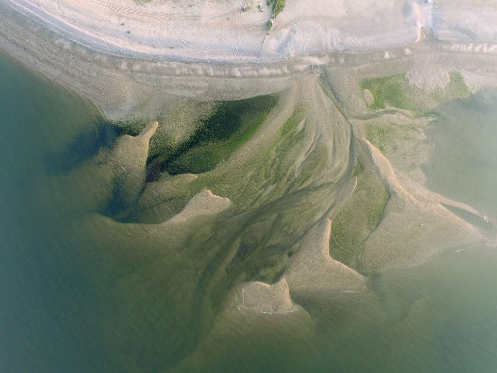
If you need experienced land surveyors in Sussex, we provide accurate survey data backed by strong technical knowledge and safe working methods. At Pathfinder Drone, we support construction, development, infrastructure and land management projects with reliable surveying services built around your site requirements.
Our team combines traditional survey knowledge with modern aerial and terrestrial technology to deliver clear, usable information. From open land and active sites to complex access areas, we help you get the data you need in a safe, efficient and cost-effective way.


Chat with us about how drone surveys can help your business
Surveying Support for Sussex Sites
At Pathfinder Drone, we work with clients across Sussex who need dependable land surveying for projects where accuracy matters from the start. Whether you are planning a new build, checking site levels, reviewing land conditions or preparing for design work, we provide survey information you can use with confidence.
Our background in construction, civil engineering and surveying shapes the way we work. We understand the pressures that come with live sites, tight programmes and technical reporting, so our focus is always on collecting data in a way that supports the wider job.
By combining drone survey methods with ground-based equipment where needed, we can produce a practical solution for each site. This gives our clients in Sussex a more complete survey service, with strong accuracy, clear outputs and less disruption on site.
Accurate Data Backed by the Right Technology
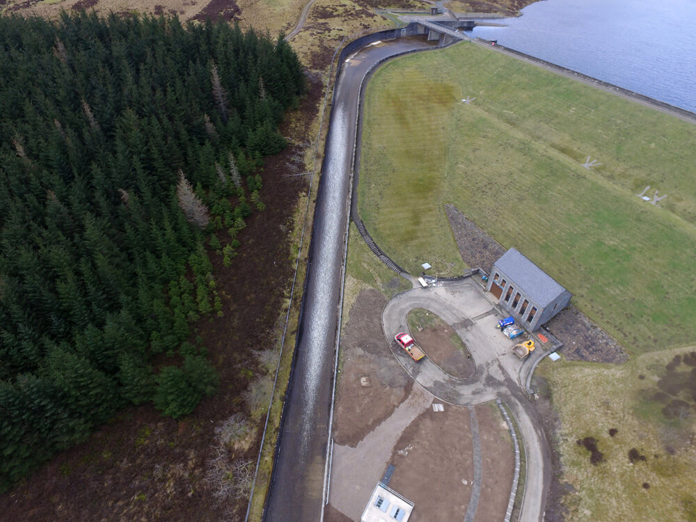
We invest in the right equipment because good results depend on good data collection from the outset. Our fleet includes specialist UAVs, GNSS equipment, total station technology and in-house photogrammetry software, allowing us to deliver detailed outputs for a wide range of land survey requirements.
This approach helps us produce point clouds, terrain models, orthomosaics and other survey data that can feed directly into CAD, BIM and wider project workflows. For clients, that means less guesswork, better coordination and information that is ready to support planning, design and delivery.
We also understand that not every site should be approached in the same way. Some projects benefit from aerial photogrammetry, while others need a hybrid survey method using both aerial and traditional techniques. We assess the site, the access and the end goal before recommending the right route.

Why Clients Choose Our Land Surveyors in Sussex
Clients choose us because we are surveyors first and drone operators second. That matters when you are relying on survey data to guide decisions, manage risk and keep a project moving. We do not treat drone technology as a gimmick. We use it where it brings real value.
Safety is a central part of our service. Our pilots are qualified for commercial work, we carry £5m public liability insurance, and our team works to high professional standards on every project. On busy or difficult sites, drone surveying can also reduce the need for slower and more intrusive access methods.
As a family-run business, we also place real value on service. We take the time to understand what you need, explain the most suitable survey method and deliver data that is useful, clear and dependable. That is why clients across Sussex trust Pathfinder Drone for land surveying support.
Speak to Our Team
If you are looking for land surveyors in Sussex, speak to Pathfinder Drone today. We provide safe, accurate and practical surveying support for a wide range of commercial and industrial projects. Contact our team to discuss your site and request a fast, no-obligation quote.
Contact Us
6 The Gardens Office Village, Fareham, Portsmouth, Hampshire PO16 8SS
Related Services

Inspections & Surveys
Infrastructure, FM & Utilities