by Harry Fuge | Mar 31, 2023 | Blog, Guide, Survey, Uncategorised, Work
Aerial construction site mapping is an innovative technology that has revolutionized the way construction sites are being managed worldwide. This mapping technology utilizes aerial photography and laser scanning to map out a detailed 3D model of the entire project... by Harry Fuge | Mar 31, 2023 | Blog, Guide, Survey, Work
The use of drones to provide aerial lidar (Light Detection and Ranging) surveys has become increasingly popular in recent years as a tool for gathering data about the earth’s surface. Its ability to penetrate vegetation canopies and create detailed 3D models of... by Harry Fuge | Jan 4, 2023 | Blog, Survey, Work
Cliff surveys are a great way to gain up-to-date geotechnical knowledge and inform the design process of cliff reinforcement structures. Advances in drones technology have enabled us to survey cliffs with accuracy and reduce time spent surveying. This opens up... 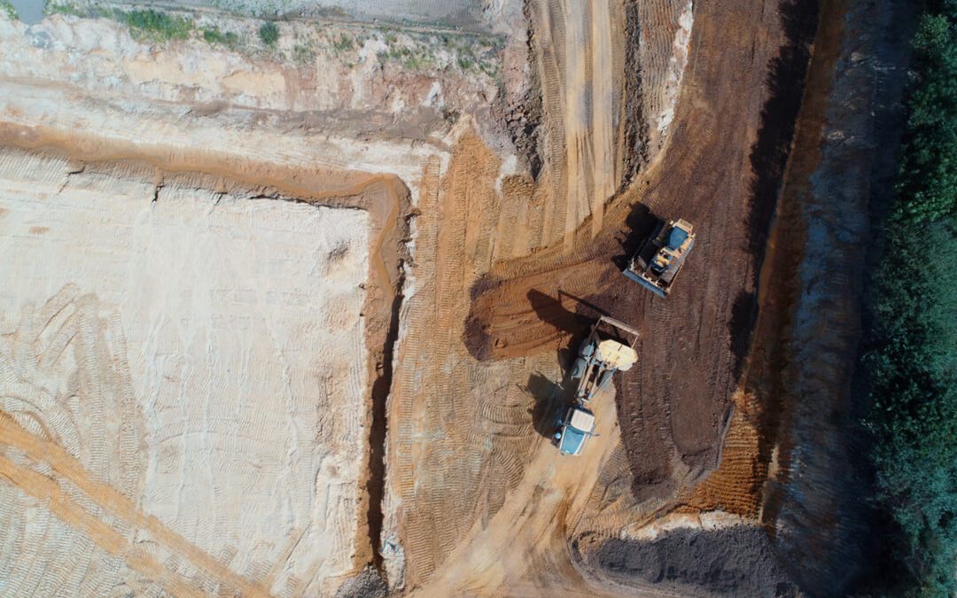
by Harry Fuge | Aug 20, 2019 | Survey, Work
Once your materials management plan (MMP) is in place, you have an obligation to track any material you handle under it. Where it comes from, where it goes, how it’s handled and what (if any) treatment it has had. This isn’t too complicated on greenfield... by Harry Fuge | Apr 4, 2019 | Guide, Survey
Most people are aware of the fantastic photos that drones can produce and what they can do for photographers but what is less understood is the role they can play in site engineering. Pathfinder Drone is a team of construction professionals dedicated to bringing the...