
by Harry Fuge | Mar 19, 2026 | Blog
Is Drone Mapping Safe for Busy Sites? Busy sites are hard places to work. You have moving vehicles, changing work zones, plant machinery, and tight schedules. In that environment, any surveying or mapping method must be safe, controlled, and well planned. Drone... 
by Harry Fuge | Mar 19, 2026 | Blog, Survey
Do You Need Permissions or Permits? If you are planning a drone flight for surveying, inspection, mapping, or media, the short answer is that you may need more than one type of permission. In the UK, “permission” can mean CAA authorisation, airspace access, landowner... 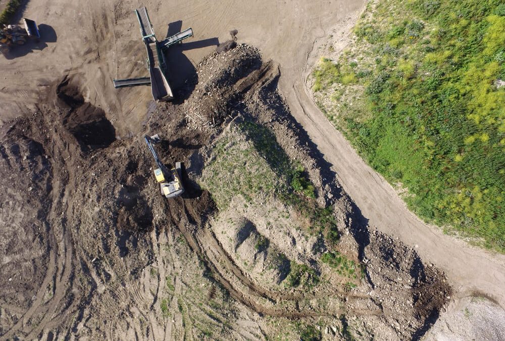
by Harry Fuge | Feb 10, 2026 | Blog
How Long Does a Drone Survey Take? Project teams often need fast, accurate data to keep works on schedule and avoid delays. But how long does a drone survey actually take? depends on the site size, survey scope, and the level of detail required. But in most cases,... 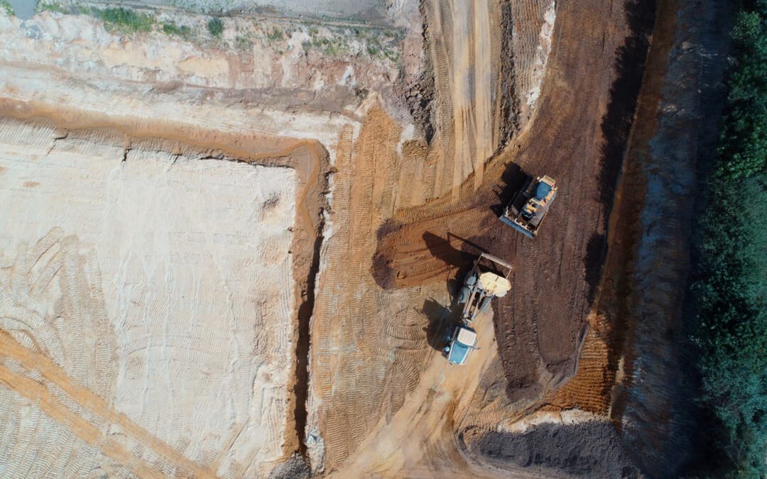
by Harry Fuge | Feb 10, 2026 | Blog, Survey
Can Drones Operate in Bad Weather? Drone surveys are now widely used across construction, infrastructure, environmental and industrial sectors. But will they perform the same when conditions change and the weather becomes less predictable? The short answer is: it... 
by Harry Fuge | Jan 24, 2026 | Blog
How Accurate Are Drone Surveys? Drone surveys have become a trusted method for collecting geospatial data across construction, land surveying, and environmental monitoring projects. But how accurate are drone surveys when compared to traditional surveying methods? In... by Harry Fuge | Jan 24, 2026 | Blog
Do Drones Replace Traditional Surveying? Drone surveys have changed the way we collect and process data across construction, infrastructure and environmental sites. With the rise of unmanned aerial vehicles and advanced drone software, many are now asking whether...