How Long Does a Drone Survey Take?
Project teams often need fast, accurate data to keep works on schedule and avoid delays. But how long does a drone survey actually take? depends on the site size, survey scope, and the level of detail required. But in most cases, drone surveys are far faster than traditional ground-based methods, both in data capture and in overall turnaround.
In this article, we’ll explain what affects drone survey timings, what to expect for different project types, and how to plan ahead.

Key Factors That Affect Survey Time
The time needed for a drone survey depends on several practical factors. These include:
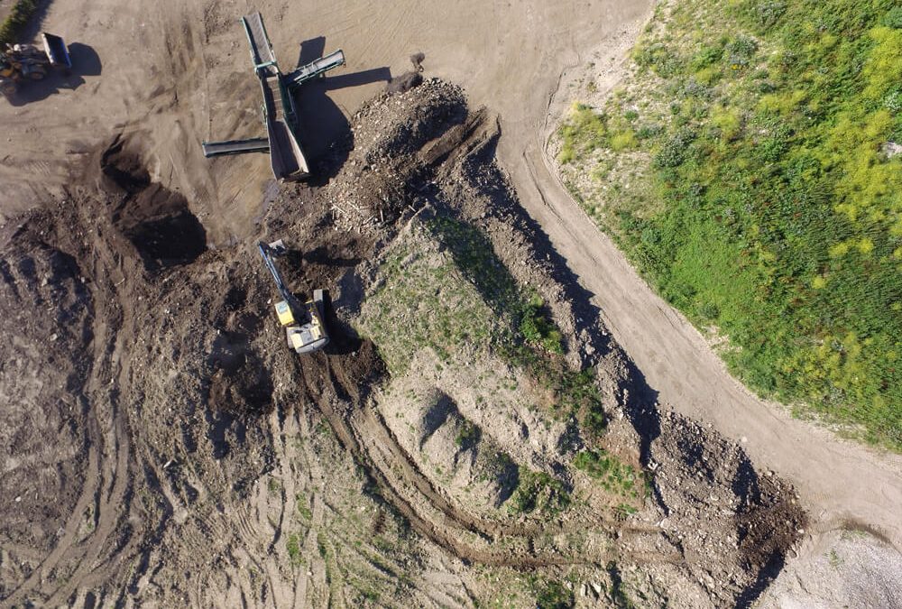
- Size of the site: Larger areas take longer to cover, especially if high accuracy or dense data capture is required.
- Type of terrain: Uneven, steep or obstructed land may slow flight speed or require more complex flight planning.
- Data requirements: Projects needing high-resolution imagery, LiDAR, 3D modelling or thermal scans can take longer to complete and process.
- Weather and wind: For safety, strong wind or poor visibility can delay or limit flying time. Site conditions also affect drone battery use.
- Permissions and access: Some locations need flight permissions or coordination with site teams, which can extend the schedule.
Despite these variables, drone surveys are usually much quicker than ground-based surveys using total stations or GNSS alone.
Typical Timeframes for Drone Surveys
For most projects, the actual flying time is relatively short. Here are typical time estimates:
- Small sites (under 10 hectares): 30 to 60 minutes
- Medium sites (10–50 hectares): 1 to 3 hours
- Large sites (50+ hectares): Half day or full day
Processing time varies depending on the data outputs required. Simple orthomosaics or basic mapping may be turned around within 24–48 hours. More detailed deliverables such as point clouds, topographic models or CAD outputs may take 2 to 5 working days depending on complexity.
At Pathfinder Drone, we always aim to keep fieldwork efficient and processing times realistic. We provide clear timelines from the start and maintain regular updates throughout the job.
How Can You Speed Up Your Survey
If you are considering a drone survey for your project, here are a few steps to speed things up:
- Share site access details in advance
- Confirm the survey boundary and deliverables you require
- Let us know about hazards, flight restrictions or live works
- Book early if permissions or coordination may be needed
We can often carry out surveys with short notice, but planning ahead helps us fly safely, reduce delays and meet your reporting deadlines.
Need a Fast, Reliable Drone Survey?
Contact us today for advice, pricing or to book your site survey. We’ll help you plan a safe and efficient operation with minimal disruption to your project.