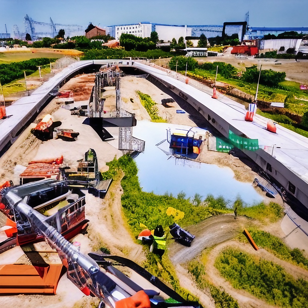
Aerial construction site mapping is an innovative technology that has revolutionized the way construction sites are being managed worldwide. This mapping technology utilizes aerial photography and laser scanning to map out a detailed 3D model of the entire project area, which can then be studied and analyzed in order to better manage and optimize construction projects.
Using aerial mapping technology for construction sites can be extremely beneficial when it comes to managing the budget of a project, as well as ensuring that all necessary elements are functioning as intended. Here we will discuss five ways that aerial mapping can help save money on a construction project:

1. Improved Accuracy of Planning & Design:
One of the most important benefits of using aerial mapping for construction projects is increased accuracy in planning and design. By having a precise visual representation of the project area, engineers, architects, and builders have access to essential data needed to ensure that their planning efforts are successful. This allows them to quickly identify potential problems before they become costly mistakes, ultimately leading to more efficient use of funds.
2. Reduced Variation Spending
Another advantage is that by having accurate visuals of the entire project area, teams involved in the building or maintenance process can focus on developing detailed plans for each specific part rather than spending excessive amounts of time on general designs or models. Detailed pre-construction plans noted from aerial maps give important details about how anything from roads and pathways to underground piping should look once completed (among other details). This helps reduce variation spending because teams don’t need to rely on speculation when constructing or maintaining any part of a building — instead, they know exactly what needs to be done so they can easily plan ahead and stay within budget limitations.
3. Faster Completion Times
Having an accurate visual representation of a project’s entire area also helps reduce construction times due to teams being better prepared in terms of knowing what needs to be done more accurately before starting any task related to the project itself. Not only does this mean less time spent troubleshooting possible issues but also faster completion times overall — resulting in significant cost savings over time!
4. Risk Mitigation & Prevention
Aerial maps provide valuable insights into potential risk factors associated with every single building component before starting work onsite — thus reducing chances for costly accidents or errors during execution phases while helping mitigate financial losses attributed from such risks. Furthermore, having comprehensive visual information allows teams involved in decision making processes (e.g., purchasing supplies) know exactly what materials are required for completing tasks efficiently without any delays or additional costs due poor calculations!
5. Reduced Maintenance & Upkeep
Finally , having up -to -date visuals about a whole projects layout helps inform teams about existing conditions or changes happening onsite; thus allowing them take corrective action if needed as soon as possible . Therefore , proper maintenance planning becomes much easier since periodic inspections can be conducted efficiently (and cost effectively!) with help from these maps . Ultimately , this leads higher operational efficiency while saving money over long term !
The use of aerial mapping for construction sites brings many advantages compared to traditional methods employed when handling management tasks. Through enhanced accuracy gained from detailed visuals and insight into potential risks associated with each component of a project, teams involved in decision making processes have better chances of staying within budget limits while avoiding costly mistakes or accidents. Additionally, efficient pre-construction plans noted from aerial maps help speed up completion times resulting in significant cost savings over time!
Moreover, by having comprehensive visual information available at all times allows teams to properly assess changes happening onsite which leads to more efficient maintenance planning and better upkeep capabilities ultimately contributing towards operational cost savings over the long term.
In conclusion, by employing advanced aerial mapping technology for construction projects companies gain key competitive insights that allow them to maximize efficiency while reducing overall costs — making it a must-have tool for any firm looking for long-term success!
